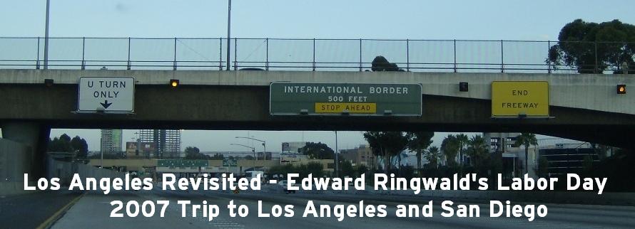
Los Angeles Revisited in 2007
As this page is quite lengthy like the last page including some background information as we go along, I have subdivided this page as well for easy navigating. You can either read this page all the way through or jump to a specific section of this page.
On this page:
Day Three, Monday, 3 September 2007
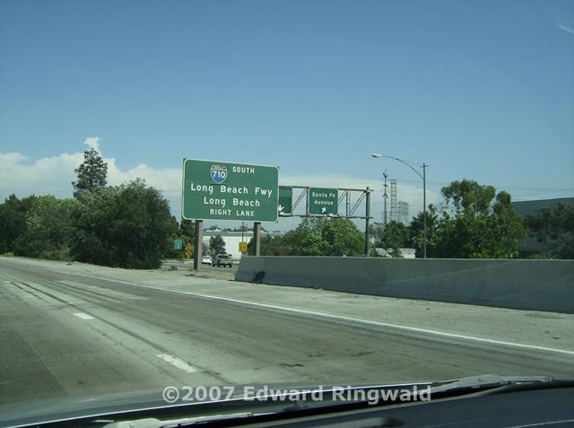
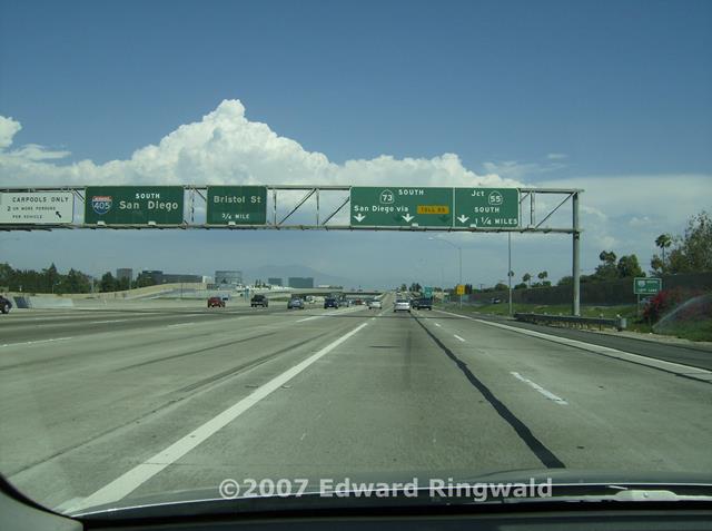
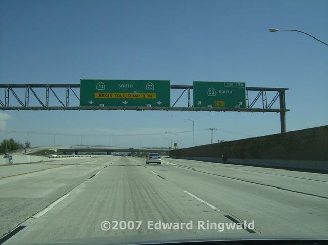
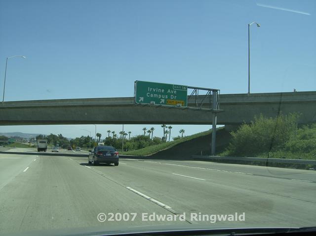
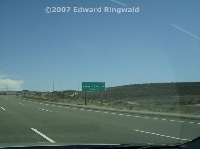
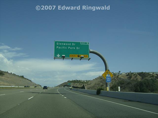
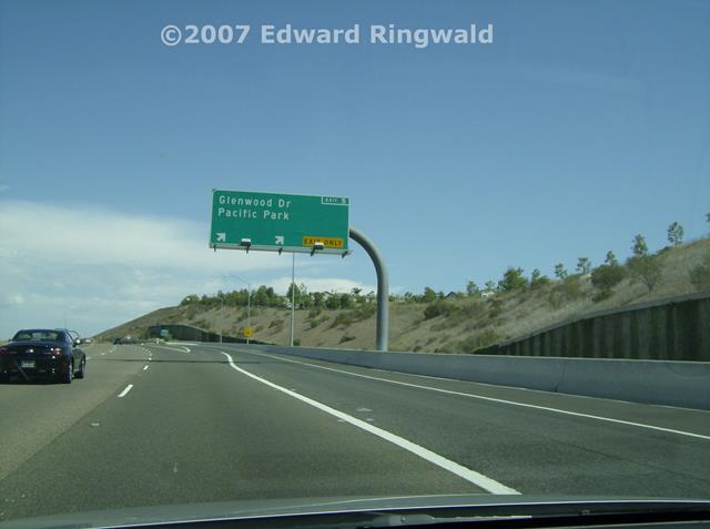
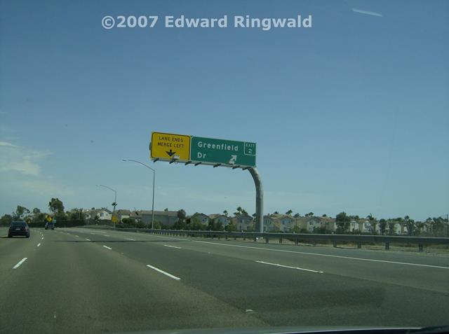
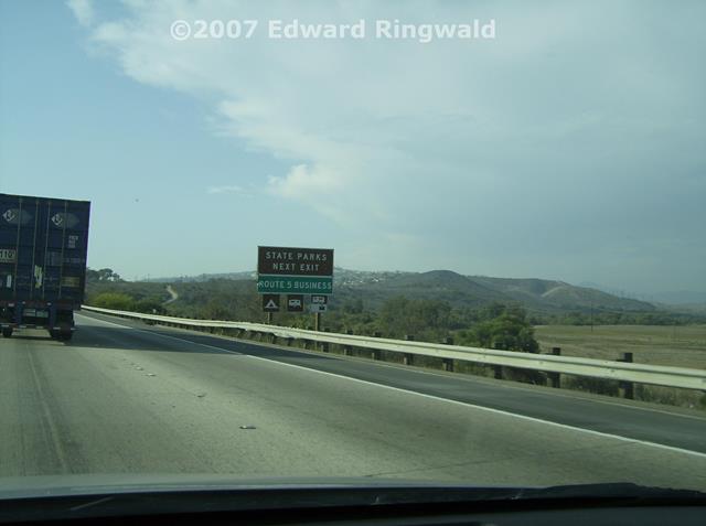
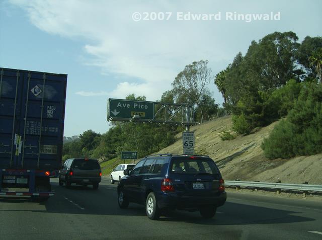
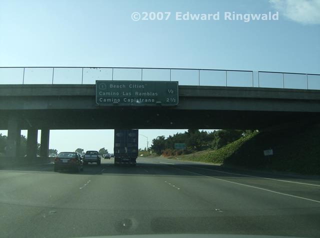
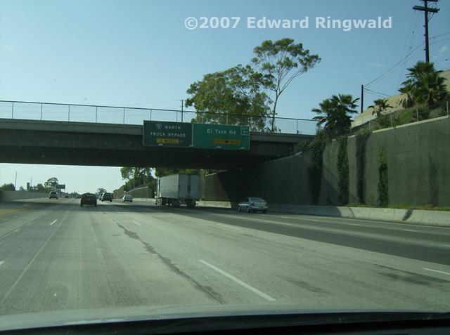
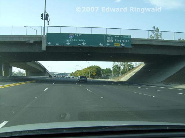
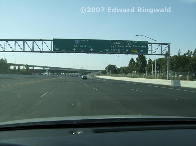
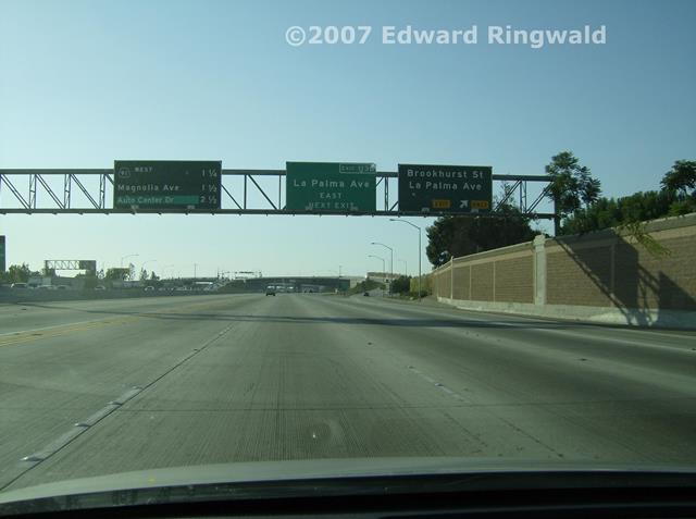
Interstate 405 south from LAX to CA 73, the San Joaquin Hills Toll Road
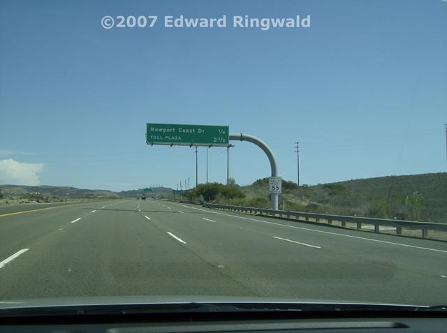
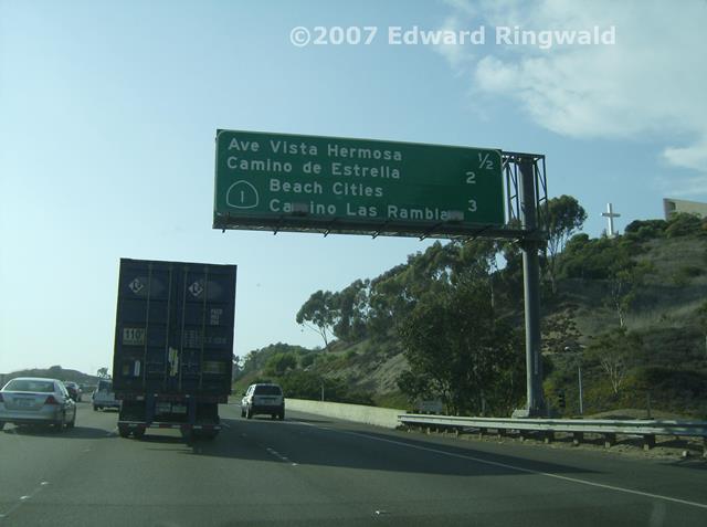
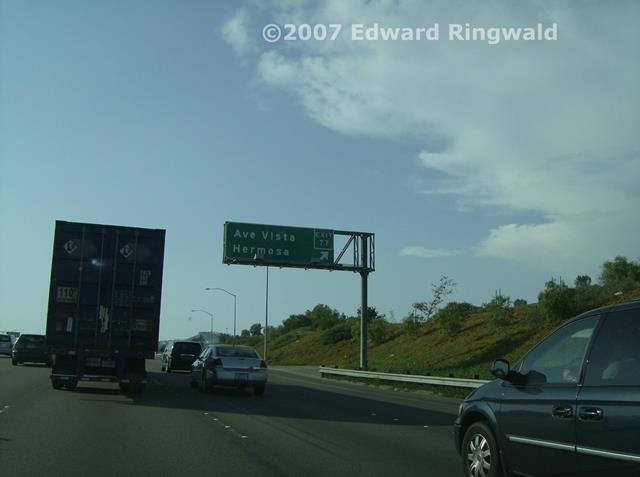
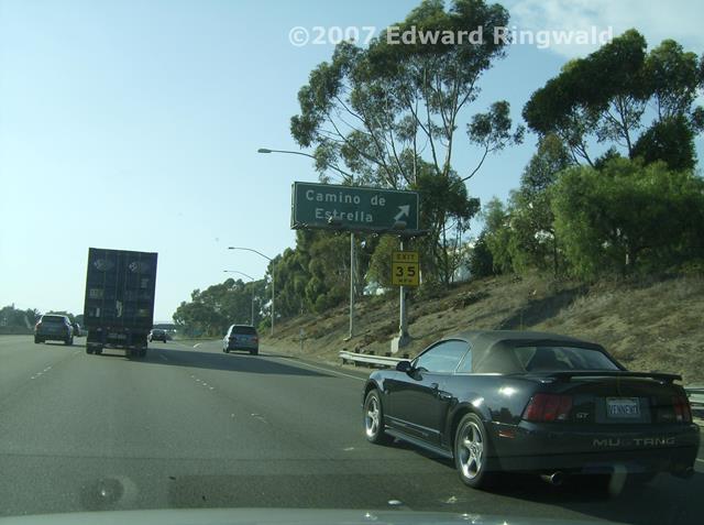
Southbound on CA 73, the San Joaquin Hills Toll Road
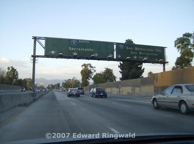
Interstate 5 southbound to Oceanside Interstate 5 northbound to Los Angeles and Interstate 10 Interstate 10 and a side trip on the Pacific Coast Highway Day Three, Monday, 3 September 2007 After breakfast (a late breakfast due to me getting up a
little late in the morning while I was getting used to the time change) and
an email check it's time to go out and do some more serious freeway
exploration. This was the perfect day to do it as this was the Labor
Day holiday and no commuter traffic, only your typical holiday weekend
traffic to worry about. Besides, it sure beats staying in the hotel
room and watching Jerry Lewis and the annual MDA Telethon (the constant
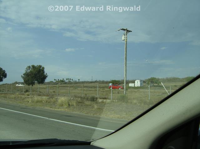
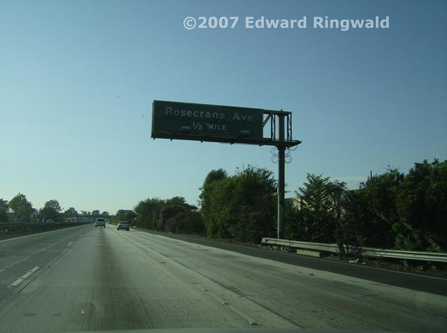
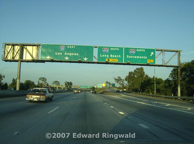
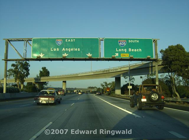
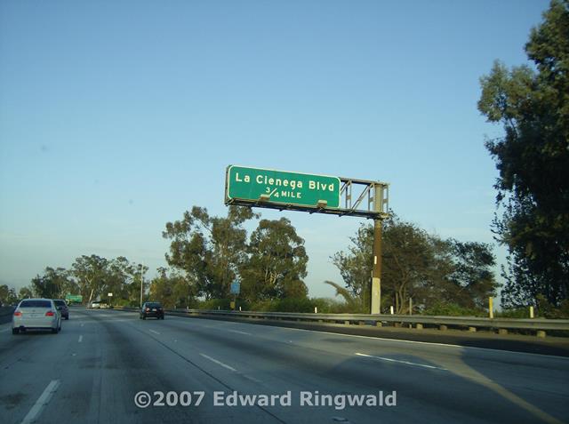
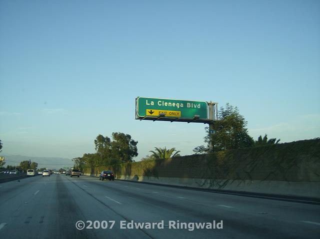
begging you to donate your hard earned money, of course). So, I set out south on Interstate 405 towards Oceanside to get more pictures
that I could not get the day before as it was getting too late in the
evening headed back to Los Angeles from a tiring day in Tijuana.
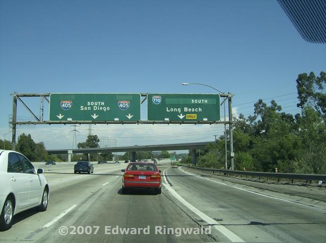
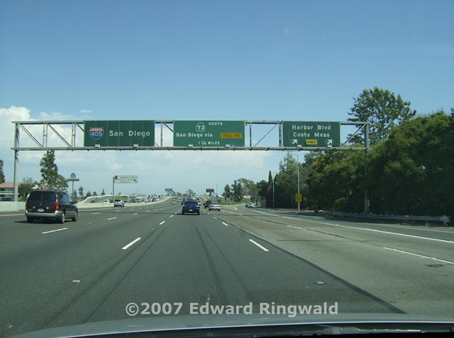
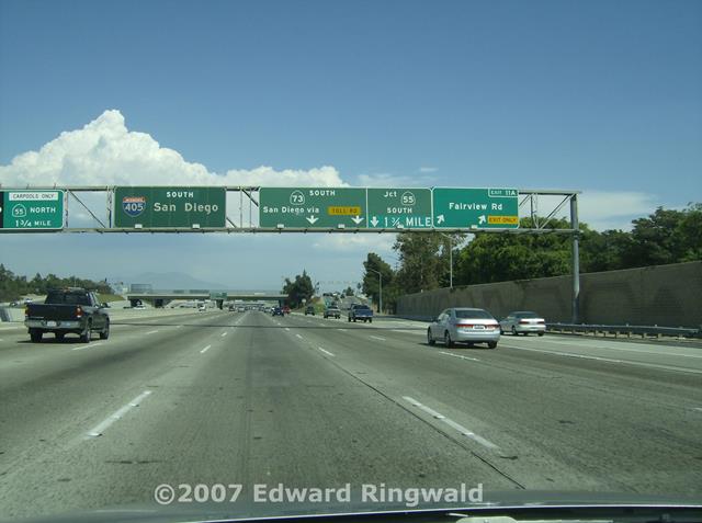
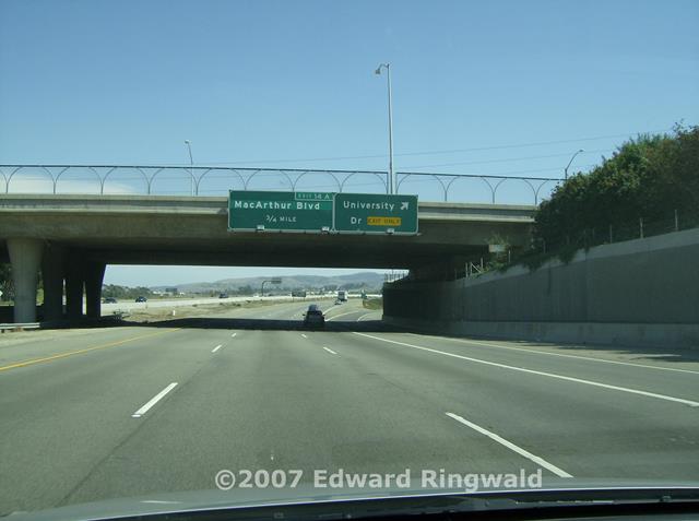
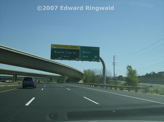
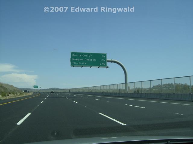
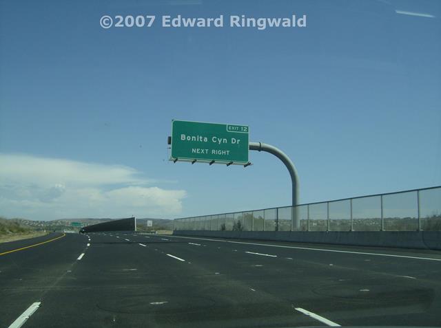
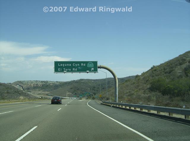
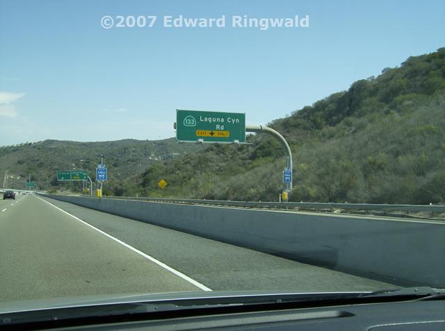
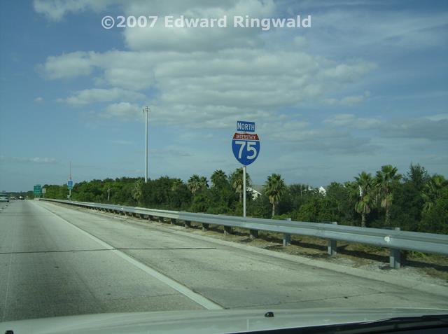
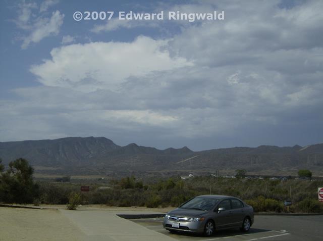
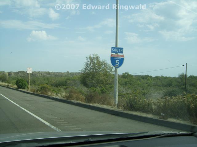
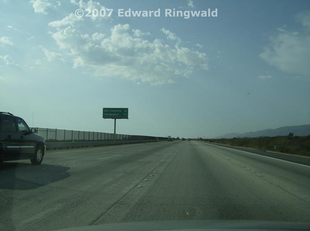
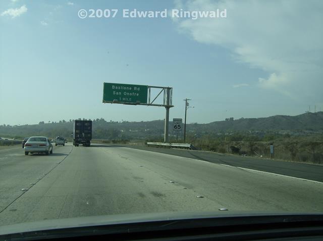
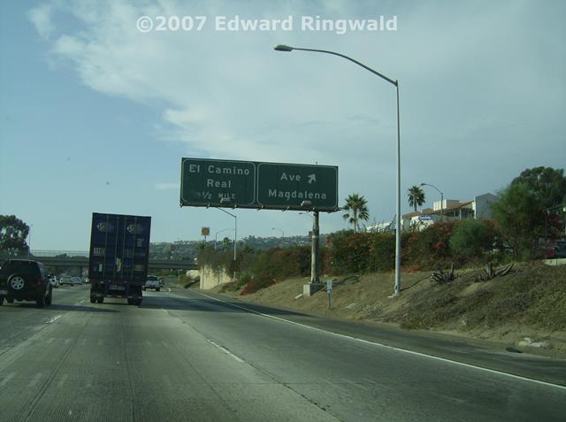
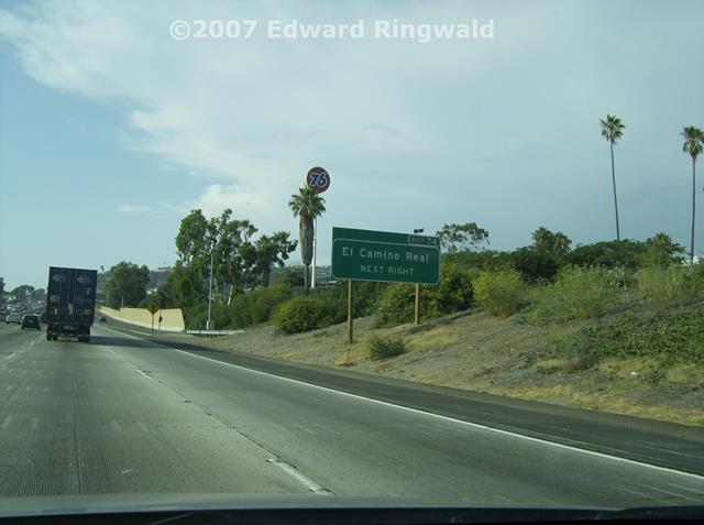
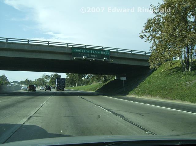
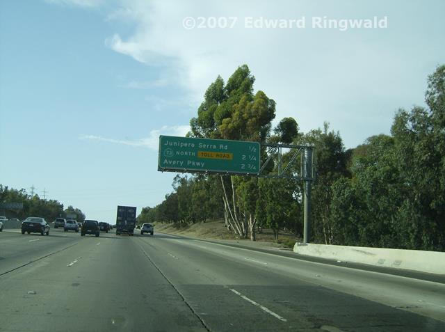
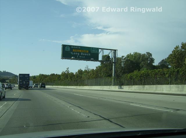
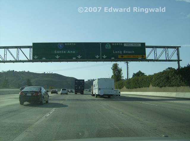
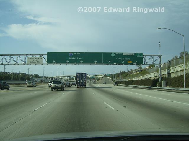
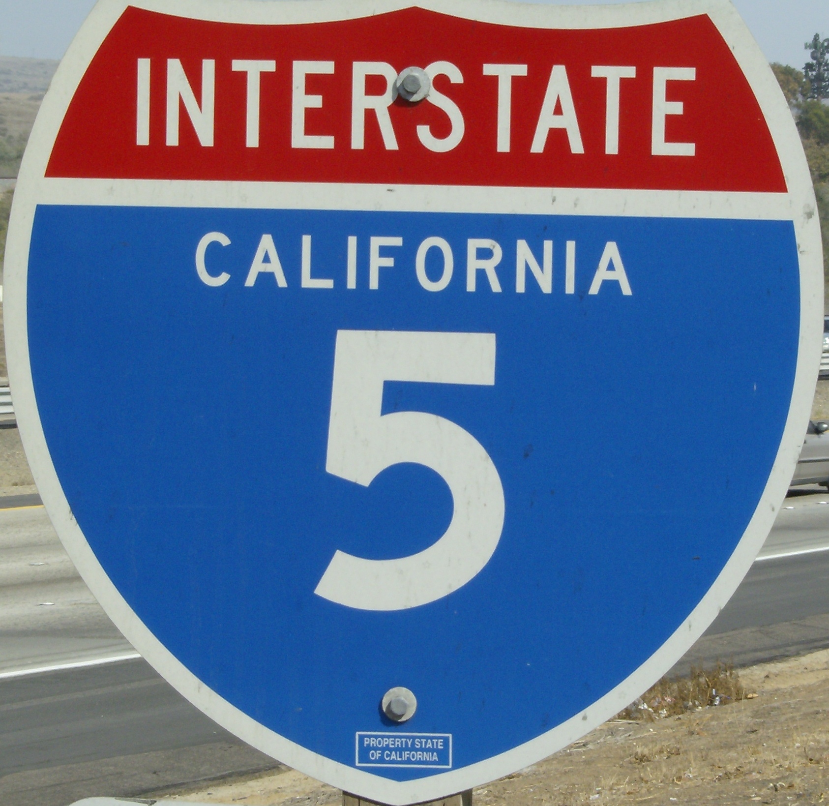
Instead of following Interstate 405 all the way to Interstate 5, I took a
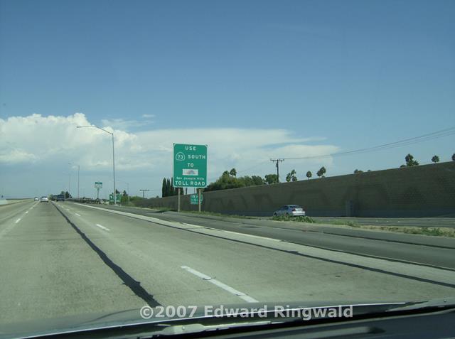
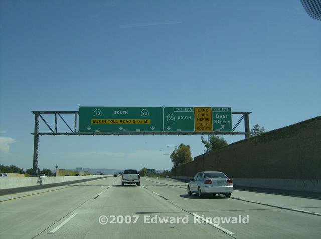
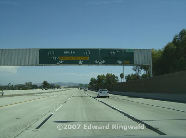
detour by way of CA 73, also known as the San Joaquin Hills Toll Road which
looks like the Suncoast Parkway (FL Toll 589). It's worth the toll to
avoid the congestion on Interstate 405 at Interstate 5 as well as a great
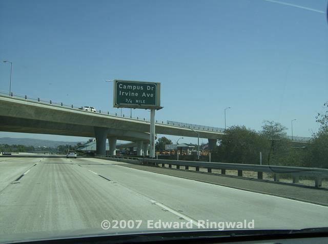
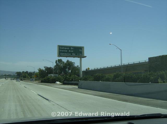
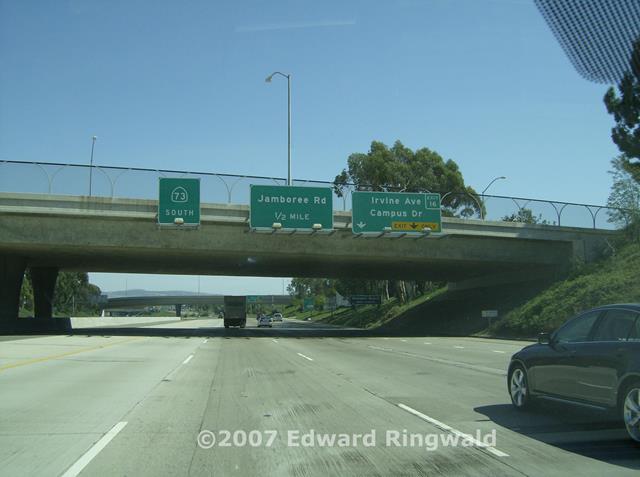
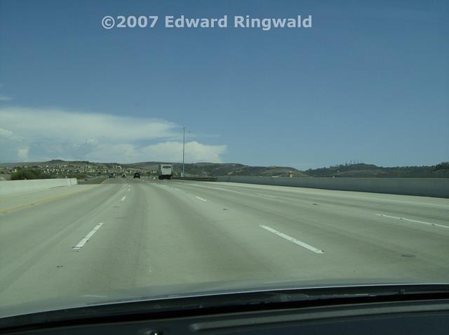
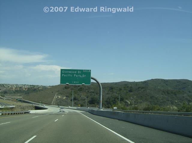
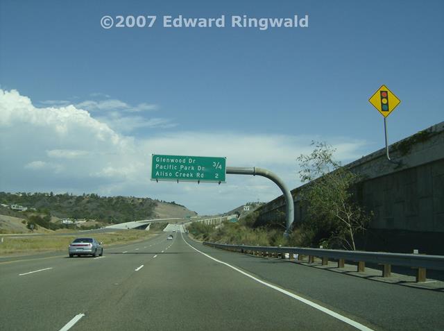
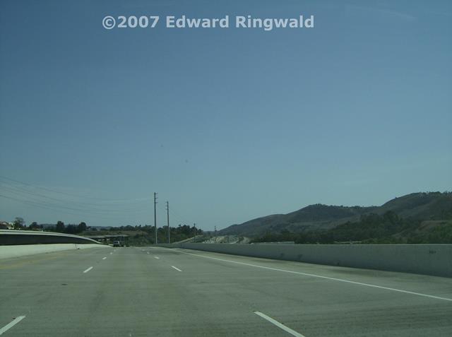
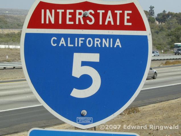
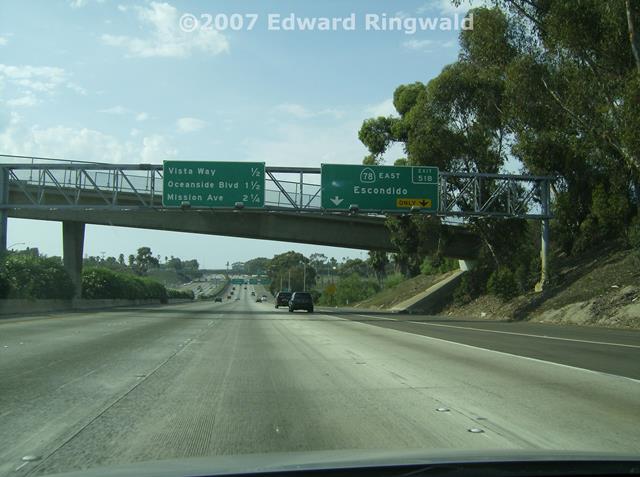
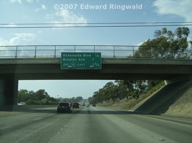
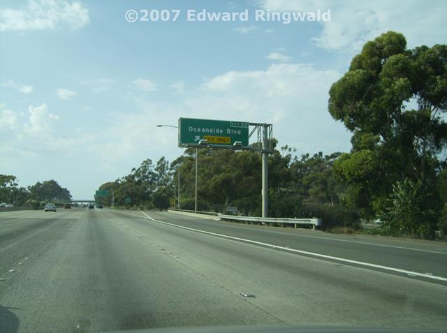
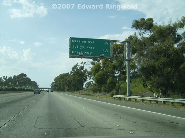
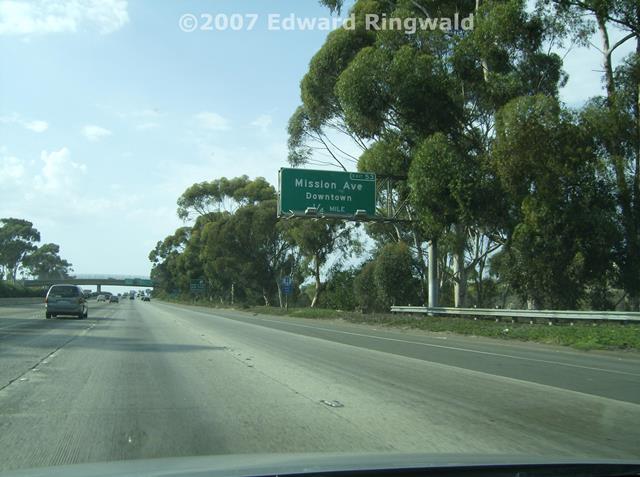
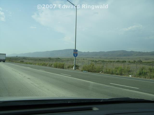
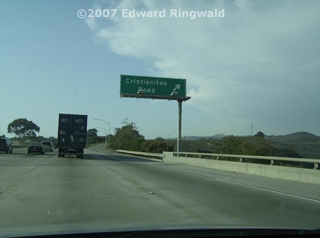
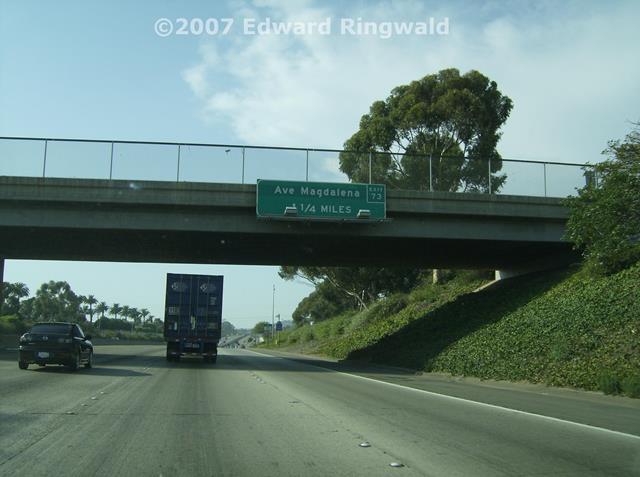
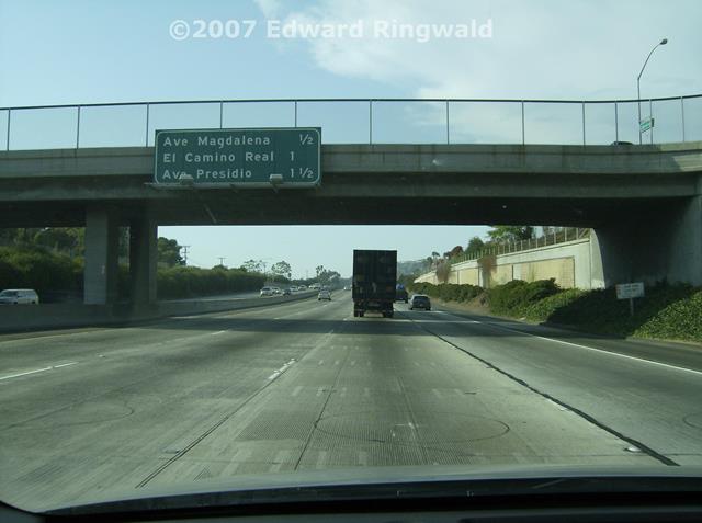
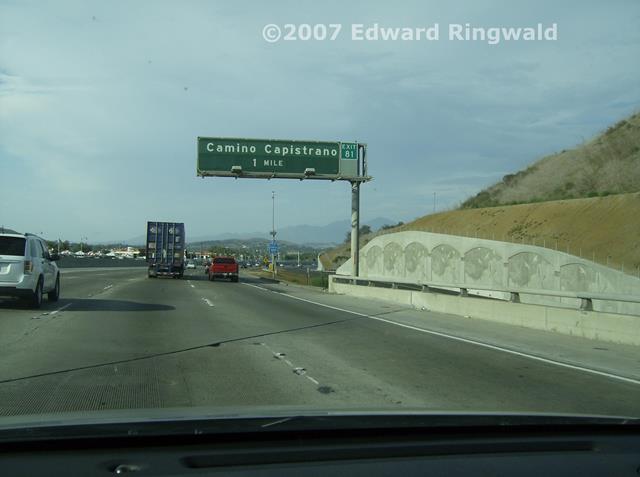
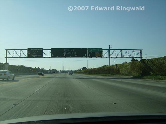
scenic drive through the rolling hills of southern California. Once on Interstate 5 coming off of the toll road I headed south to
Oceanside, this time for a second look. Things were practically the
same as it used to look back in 1978 except for the signage upgrades that
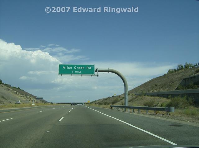
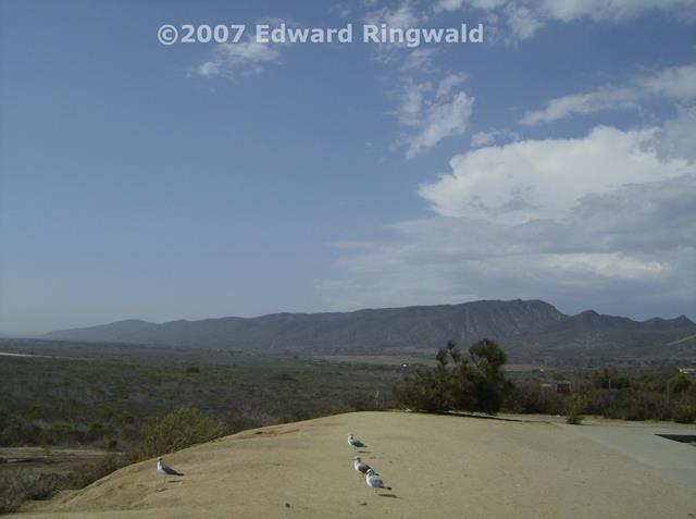
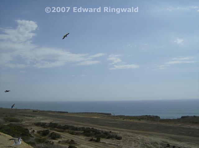
have taken place on Interstate 5 over the years. On the way south I
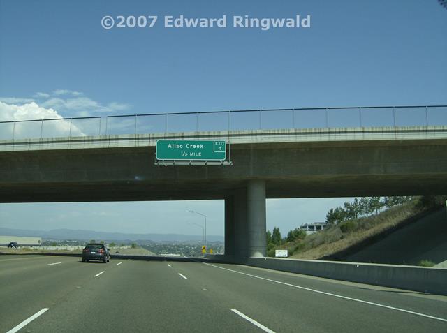
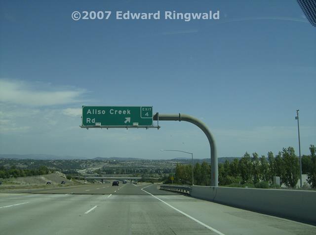
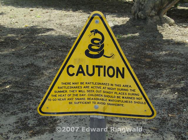
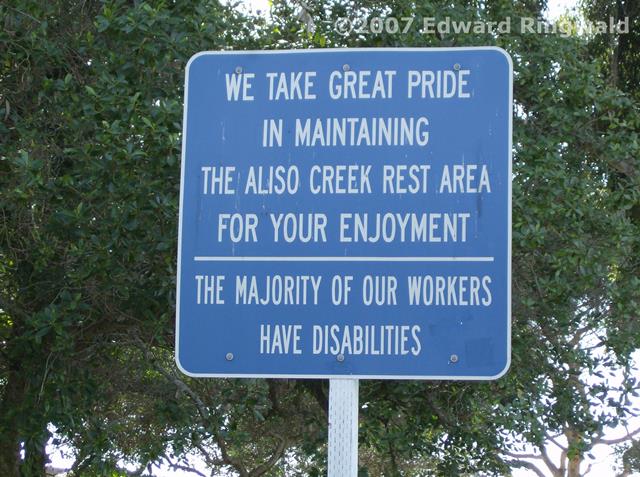
made two stops, one at the scenic overlook (which California uses the term
Vista Point) and another at the Aliso Creek Rest Area; both provided
splendid views of the Pacific Ocean as up close and personal as you can get
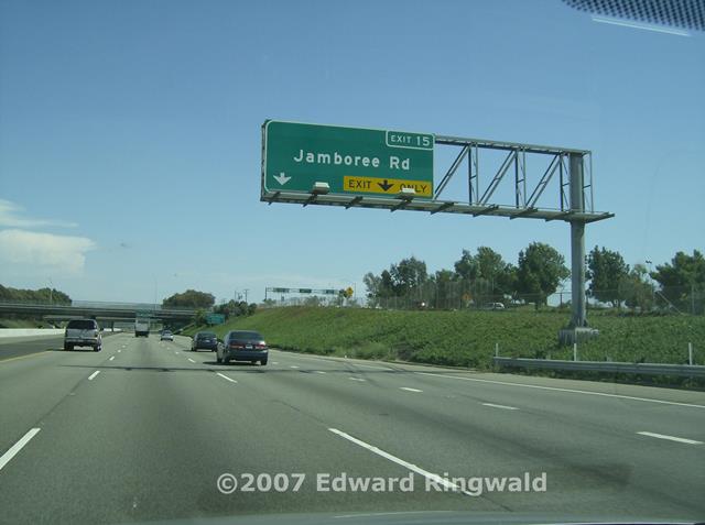
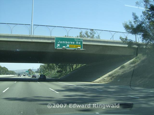
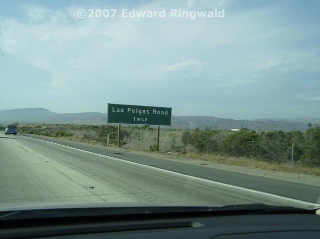
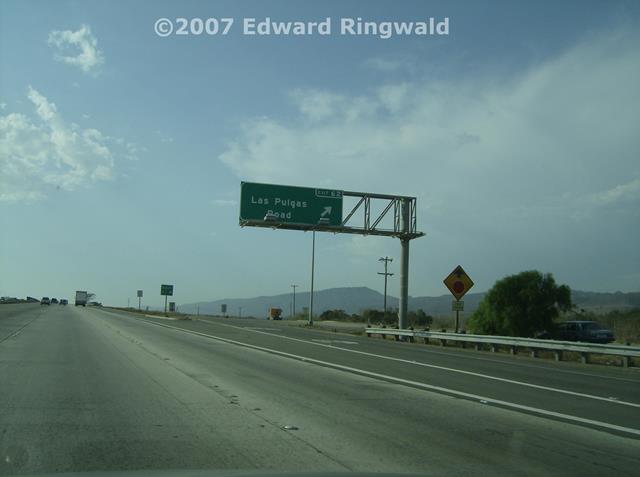
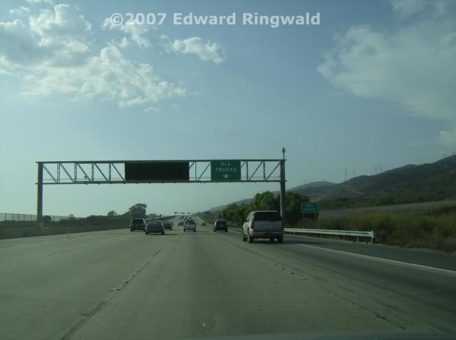
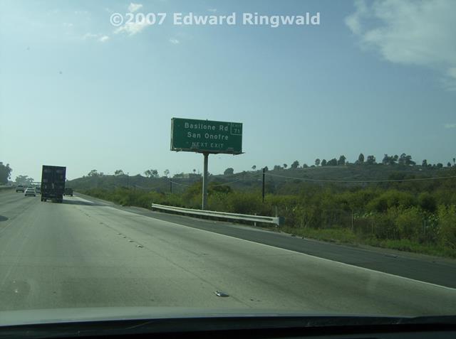
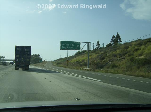
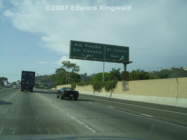
without getting sand in your shoes or getting wet! After some time in Oceanside it was time to turn around and head back
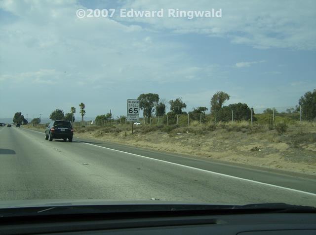
towards Los Angeles. Headed north on Interstate 5 I passed Las Pulgas
Road and the infamous Border Patrol checkpoint south of San Clemente.
I was not operating at the time I passed through; however, as Interstate 5
is practically the only direct way between San Diego and Los Angeles from
what I understand if the checkpoint is in operation traffic backups can
occur. You could take an indirect route from San Diego to Los Angeles
via another interstate highway, Interstate 15, but I understand that there
is another Border Patrol checkpoint in Temecula just before the
Interstate 15/Interstate 215 split and you never know when it's in operation
as well. With the Camp Pendleton Marine Base inbetween Interstates 5
and 15, the only way to get to Los Angeles from San Diego is practically by
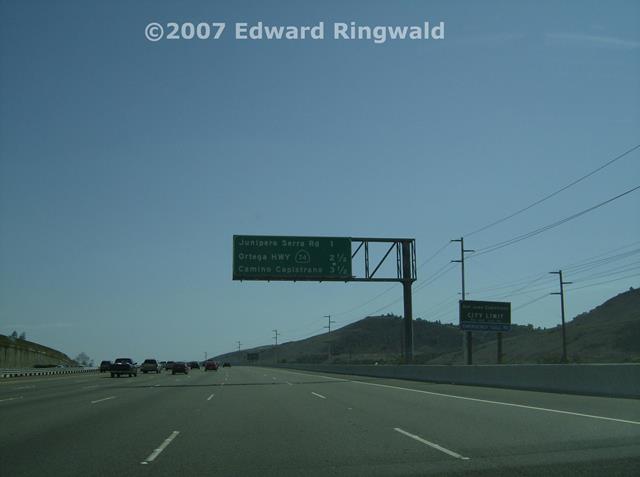
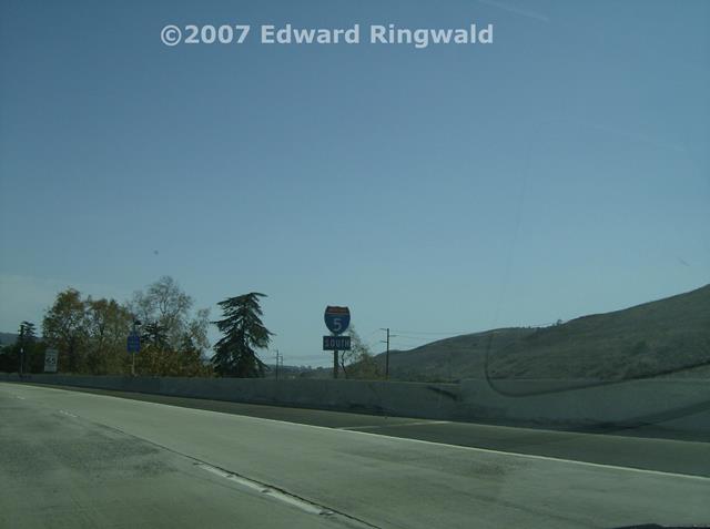
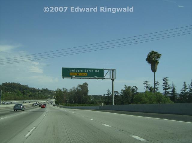
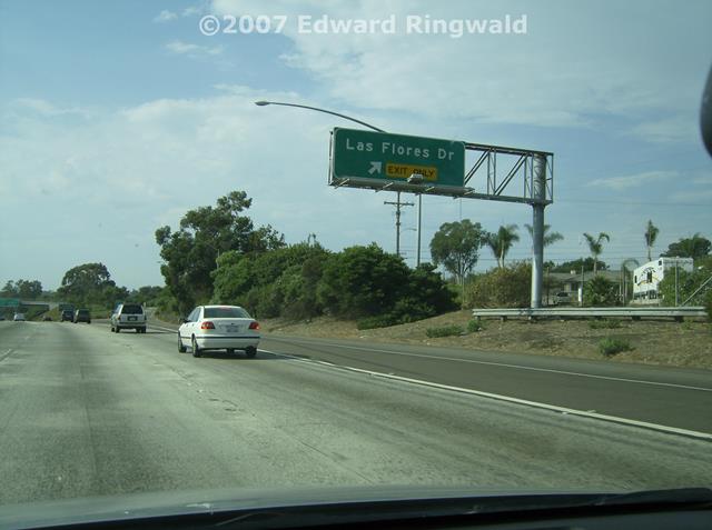
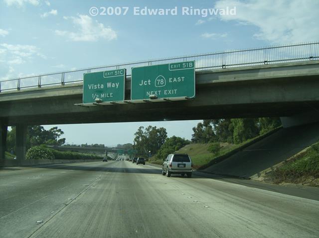
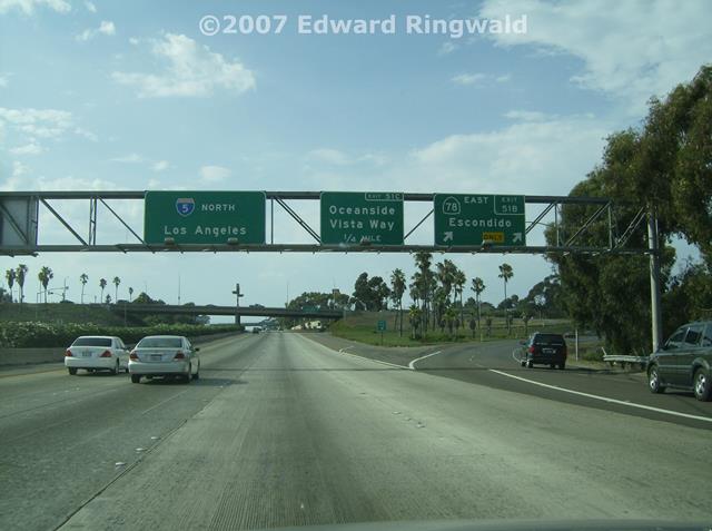
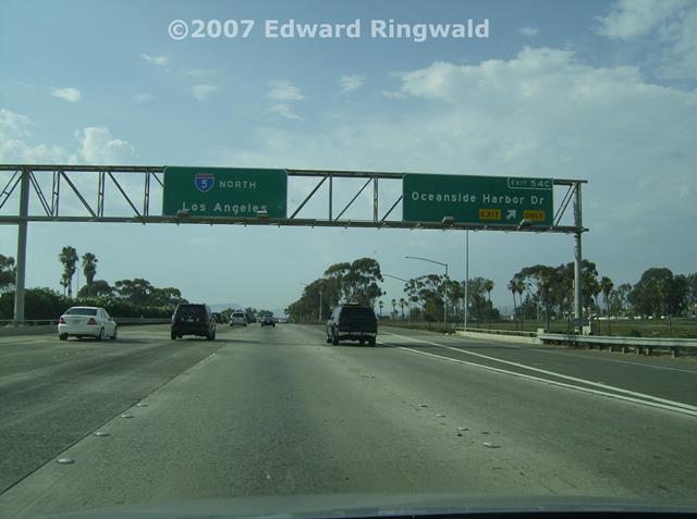
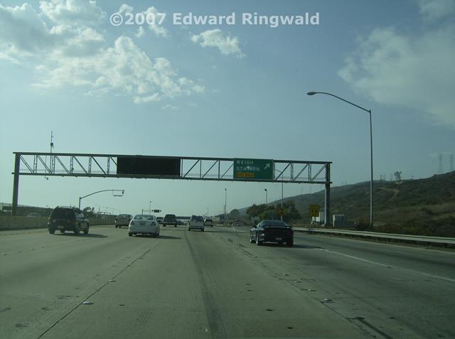
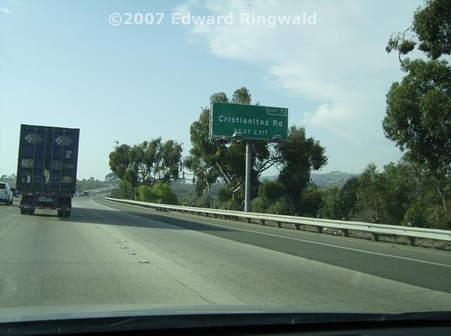
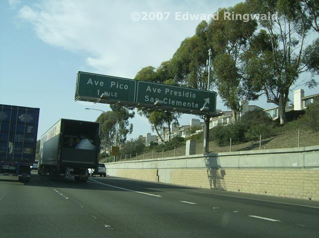
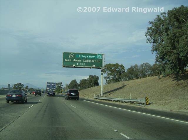
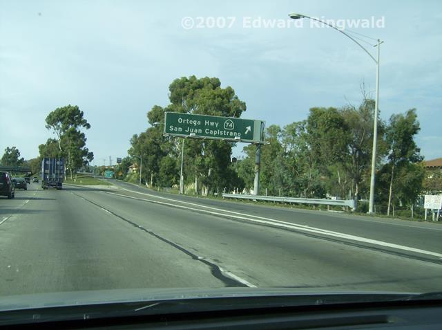
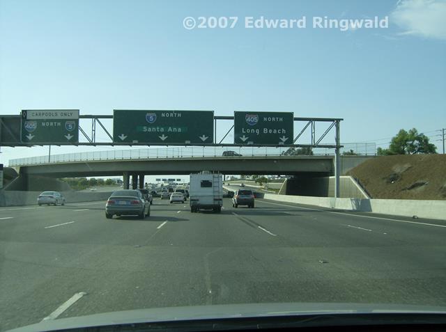
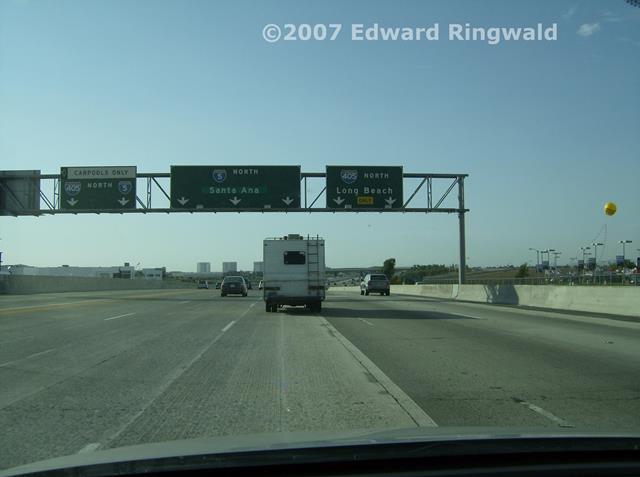
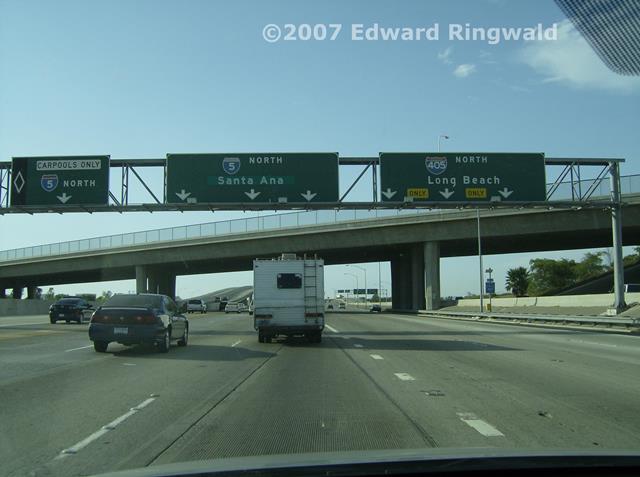
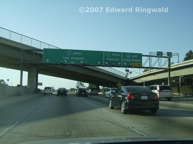
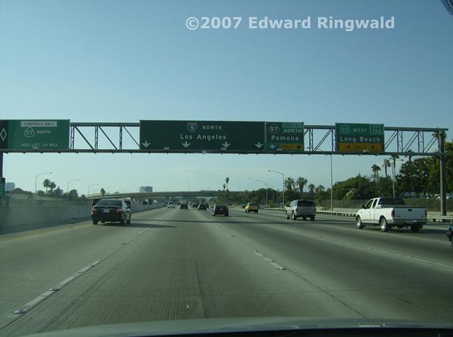
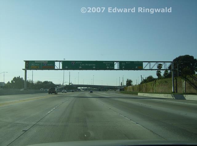
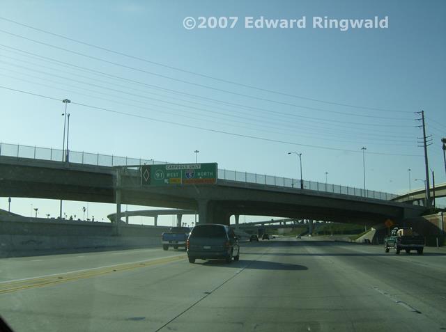
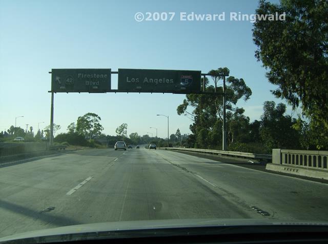
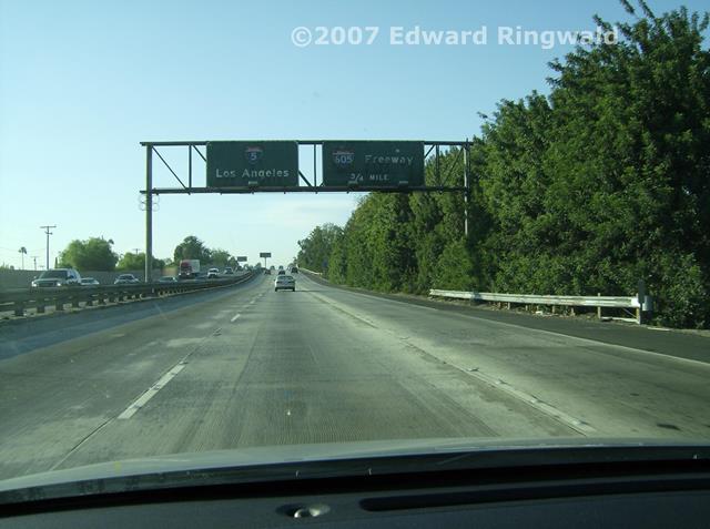
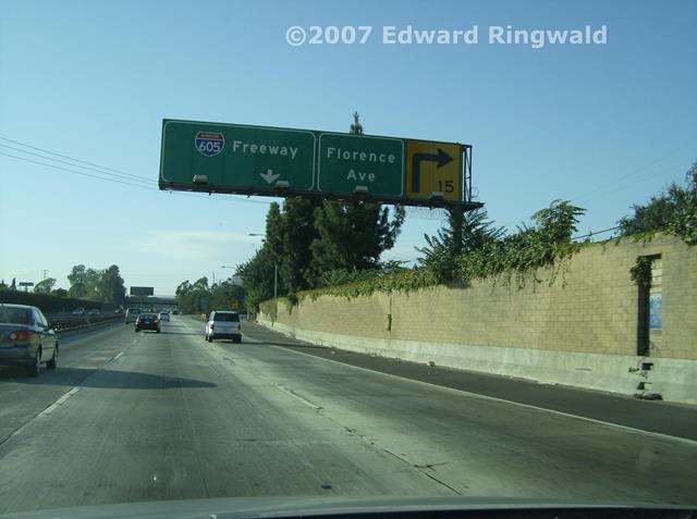
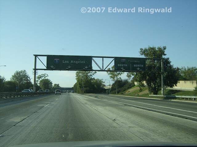
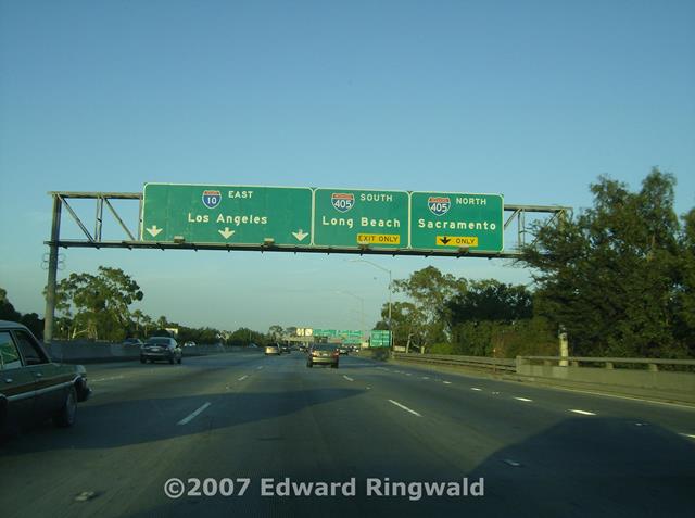
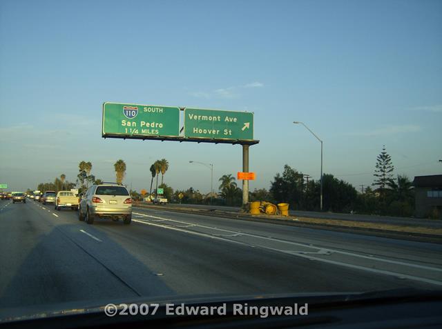
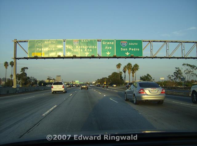
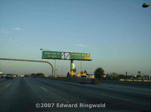
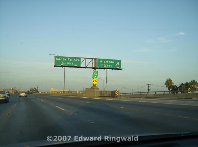
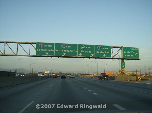
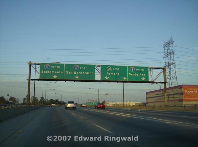
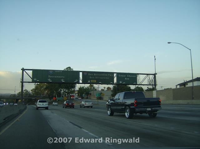
way of these two interstates. I continued north on Interstate 5 through Santa Ana to the junction of
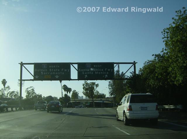
Interstate 10 in Los Angeles. Once there I proceeded west on
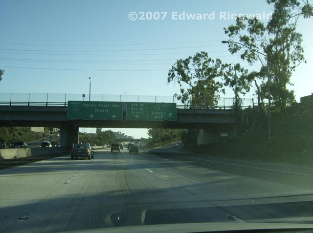
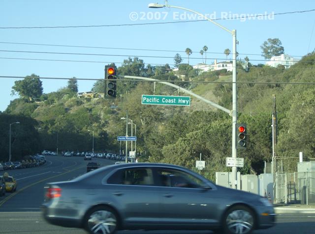
Interstate 10 to check out its national western terminus at the Pacific
Coast Highway, also known as CA 1 in Santa Monica. The beaches were
extremely crowded as I had to drive a little distance to make a legal
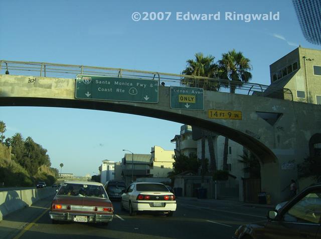
turnaround to get back to Interstate 10. A tunnel marks the beginning of Interstate 10, the highway that runs from
Santa Monica and Los Angeles to its Florida terminus at Interstate 95 in
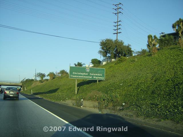
Jacksonville. In California, a sign not too far east from the tunnel
dubs Interstate 10 as the "Christopher Columbus Transcontinental Highway"
and I believe other states have designations for Interstate 10 as it passes
through. As for me driving the entire length of Interstate 10 from
California to Florida or vice versa - well, I would rather fly Southwest any
day. After Interstate 10 I went back on Interstate 5 north towards CA 134 and
Burbank, then south on Hollywood Way and Barham Blvd. passing by the Warner
Bros. studios on the way to US 101. Finally, I rounded out the evening
by taking US 101 south to Interstate 110 south and it was back to the
Hilton. The next day I had to check in online for the return trip
home. This section is organized sequentially according to location as I went along. Some commentary in addition to or supplementing the trip report described above is provided. Interstate 405 is a bypass of the Los Angeles area, retaining an urban character
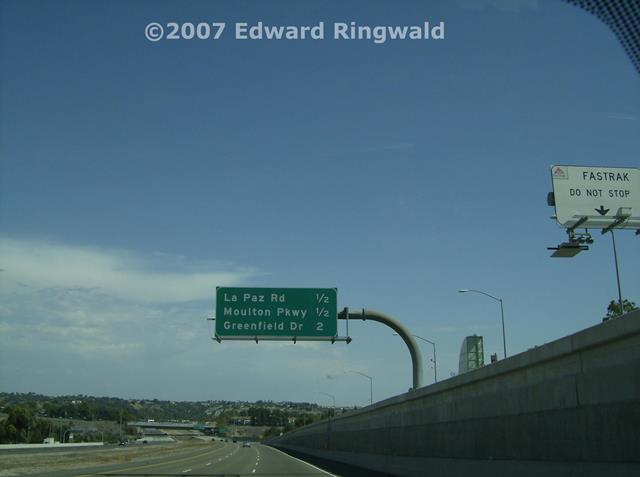
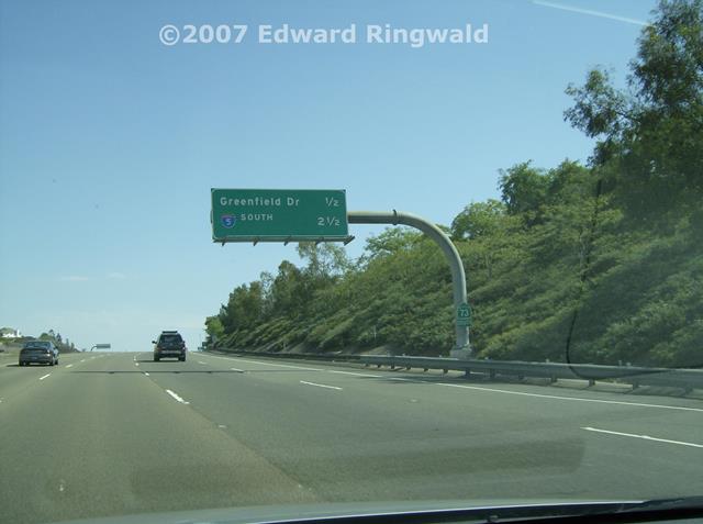
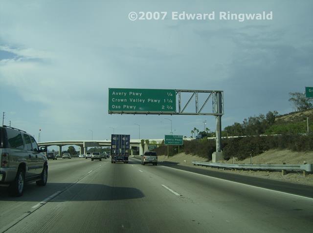
akin to Interstate 805 in San Diego as well as Interstate 275 in Tampa/St. Petersburg. The San Joaquin Hills Toll Road is part of a system of
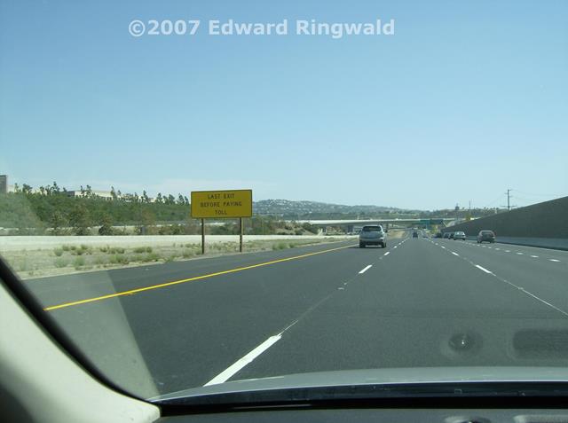
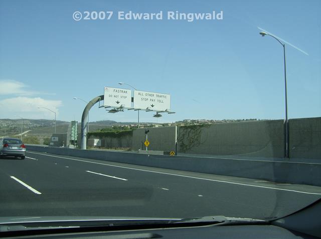
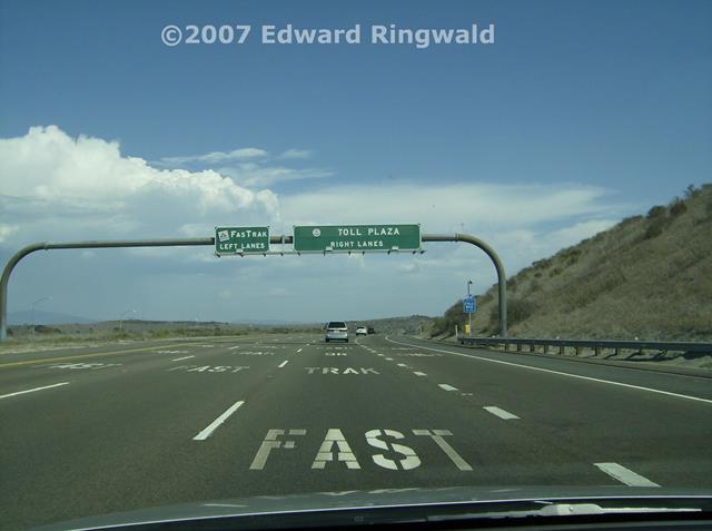
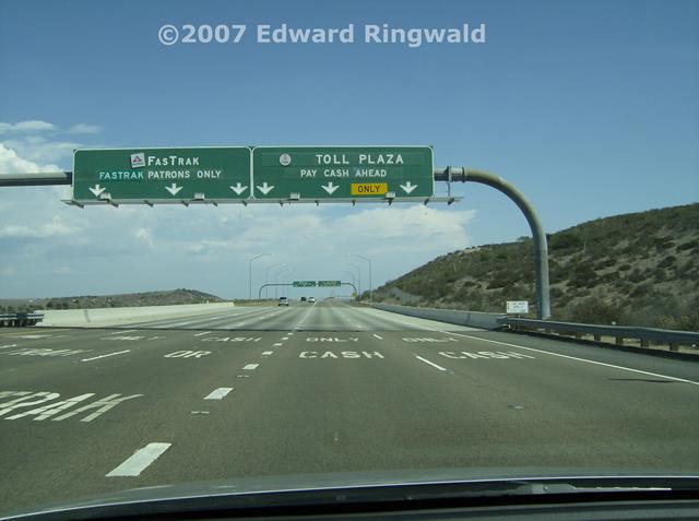
toll roads in Orange County. Orange County, California, that is; not the Orange County in Florida that we are used to. Tolls
are paid using cash or California's equivalent of Florida's SunPass, FasTrak. UPDATE: The San Joaquin Hills Toll Road,
along with the rest of the Orange County toll road system, is converting to open road all electronic tolling similar to what you can
find in Florida with the Selmon Crosstown Expressway in Tampa and the Homestead Extension of the Florida's Turnpike. That means you
can leave your cash at home, as there will be no toll booths nor any toll takers to collect your cash toll. The conversion is supposed
to be complete by Summer of 2015, according to The Toll Roads site. I have corresponded via email with The Toll Roads shortly after I returned
from my 2007 trip to Los Angeles regarding interoperability with Florida's SunPass. A customer service representative from The Toll Roads
replied to me and stated that there are no plans for interoperability with toll transponders from states other than California. Now that
the conversion is being done to open road tolling on CA 73, perhaps Transportation Corridor Agencies - the operators of the San Joaquin Hills
Toll Road and others in California's Orange County - ought to reconsider transponder interoperability with other states' toll systems such
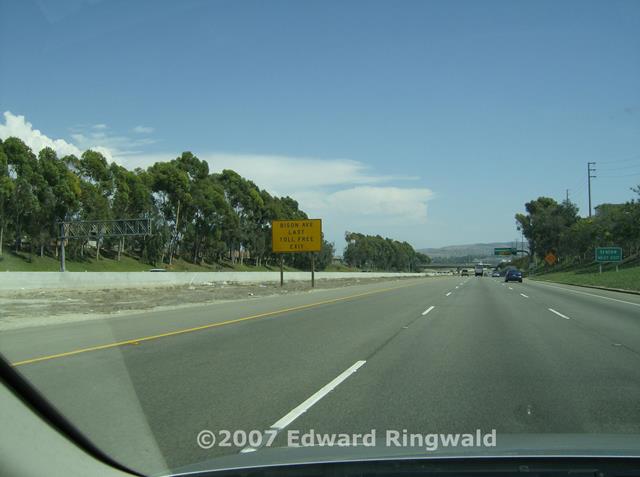
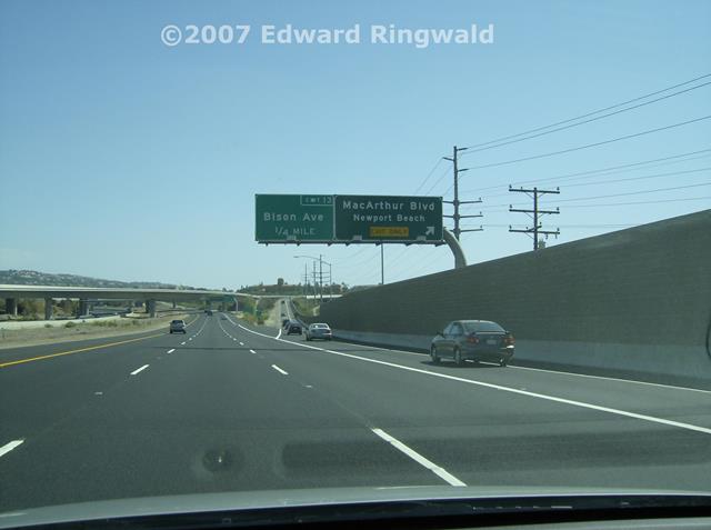
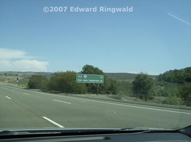
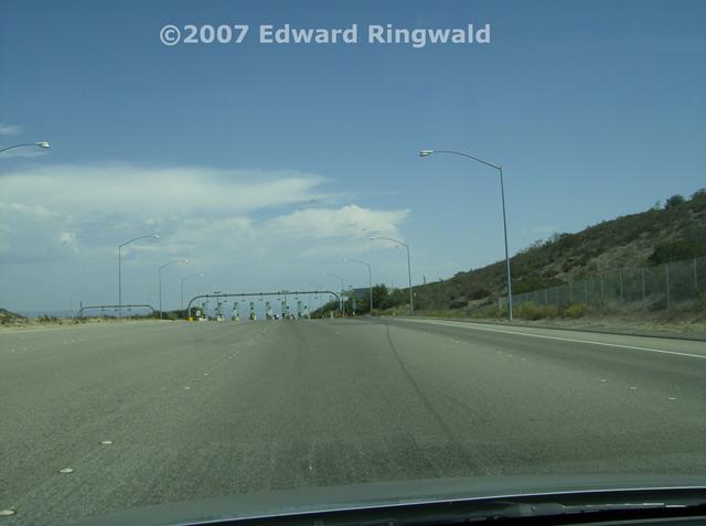
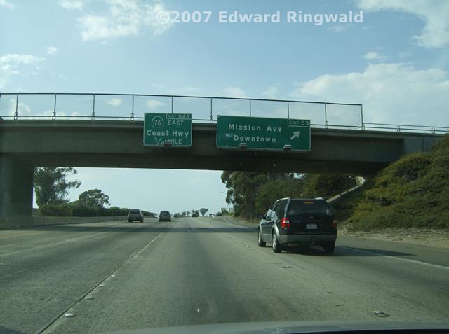
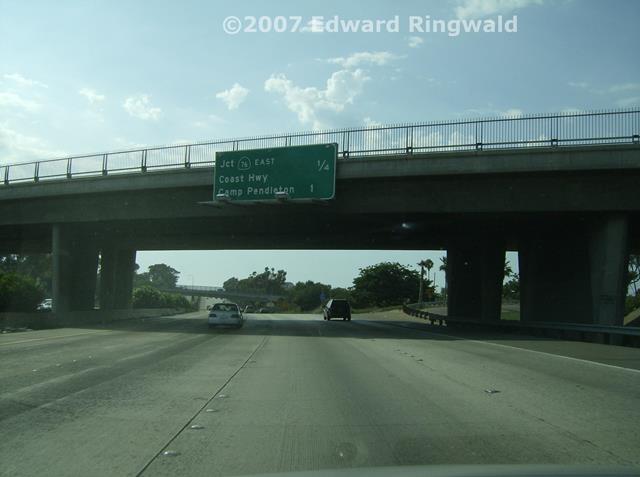
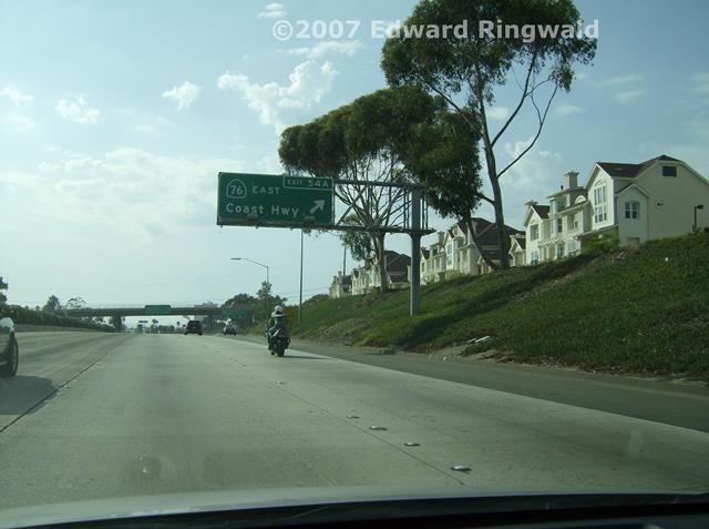
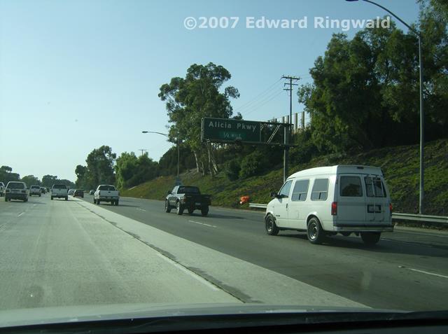
as Florida's SunPass. Once you get south of San Juan Capistrano there is nothing more than six lane
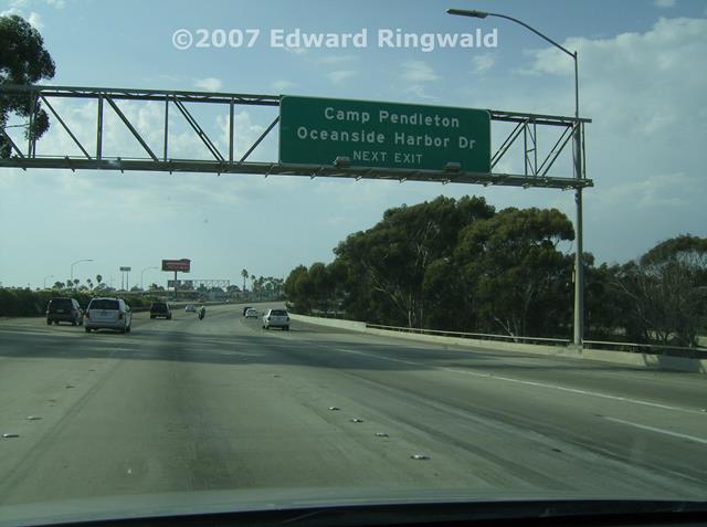
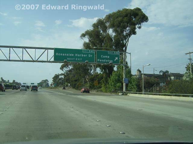
interstate highway until you reach Exit 54 and Oceanside. This is because of the Camp Pendleton Marine Base which is immediately to the east of
Interstate 5. The strategic location of Camp Pendleton in relation to Interstate 5 allows the folks at the United States Customs and Border Protection
(which is the United States Border Patrol, now a component part of CBP) to run a checkpoint for motorists traveling northbound on Interstate 5 in
the direction of Los Angeles, even though the checkpoint is located some 60 miles north of the Mexican border in San Ysidro. Practically the only way southern Californians can reach San Diego from Los Angeles
or vice versa is Interstate 5. The only other way would be to use Interstate 15 which skirts east of Camp Pendleton, but it is a much longer
drive, or take regularly scheduled Amtrak Pacific Surfliner service between the Union Stations in both cities (in fact, you can take the train
all the way to San Ysidro and the Mexican border - sort of, using a combination of Amtrak service and the San Diego Trolley). Coming back from Oceanside we follow Interstate 5 in its entirety
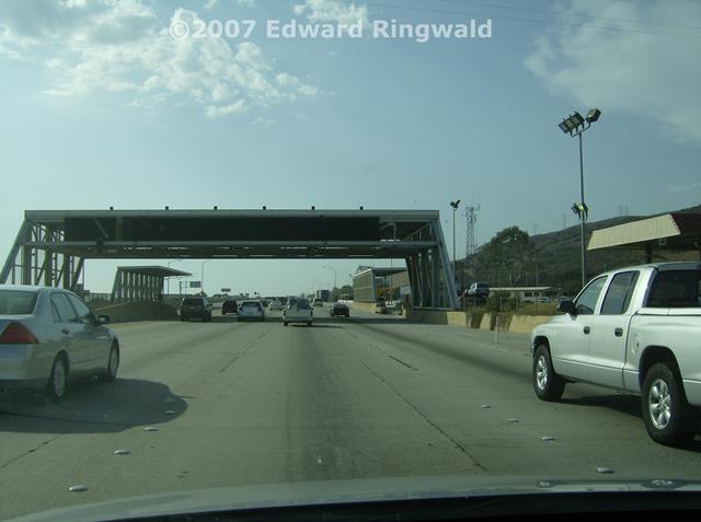
to Los Angeles and Interstate 10. Luckily, when I passed the Border Patrol checkpoint on northbound
Interstate 5 it wasn't in operation at the time. If the checkpoint was activated you would have overhead signage that would say
STOP HERE, U.S. OFFICERS. Back in 1978 when I stayed in Camp Pendleton, there was no canopy, just overhead signage featuring changeable message signs bearing
the same legend. For those of you headed to Los Angeles from San Diego, there is no
way to avoid the Border Patrol checkpoints if they are in operation. If the checkpoints are activated, prepare for a good wait in
Interstate 5 traffic. If you want to take an alternate route via Interstate 15, forget it - there is another Border Patrol checkpoint
operation on that highway in Temecula, which is basically east of Camp Pendleton. In short, if the Border Patrol checkpoints are activated
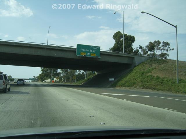
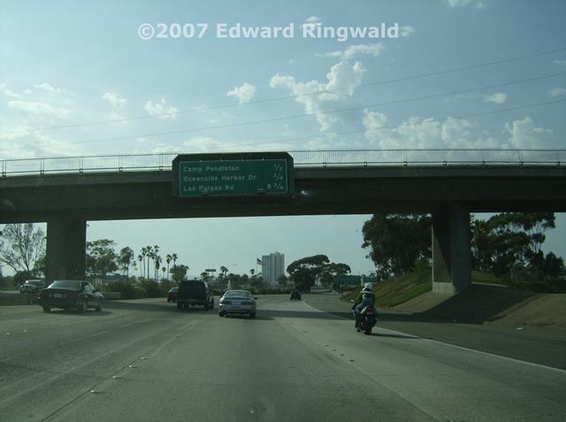
enjoy the wait or, in the alternative, enjoy Amtrak. There is one exit from Interstate 5 in Oceanside that I will remember for as
long as I live. That exit is Exit 54B, which is Oceanside Harbor Drive that funnels traffic directly into Camp Pendleton; this exit is similar to
Exits 26A/B on Interstate 275 in St. Petersburg, commonly known as 54 Av N. After all, Camp Pendleton was my temporary home for three months in
1978 when my older brother - who was in the Navy at the time - fell ill and we decided to make the three day transcontinental trip from St. Petersburg
to Oceanside. You will see Exit 54B from Interstate 5 here in the photo gallery. Here I cover the westernmost 16 miles of Interstate 10 from Interstate 5
to its national western terminus at CA 1 (the Pacific Coast Highway) in Santa Monica. After all, Interstate 10 is a transcontinental
interstate highway crossing the southern United States starting from its western terminus in Santa Monica, California at CA 1 and ending
at its eastern terminus some 2,800 miles away at Interstate 95 in Jacksonville, Florida. Starting at Santa Monica and Los Angeles, Interstate 10 covers the southern
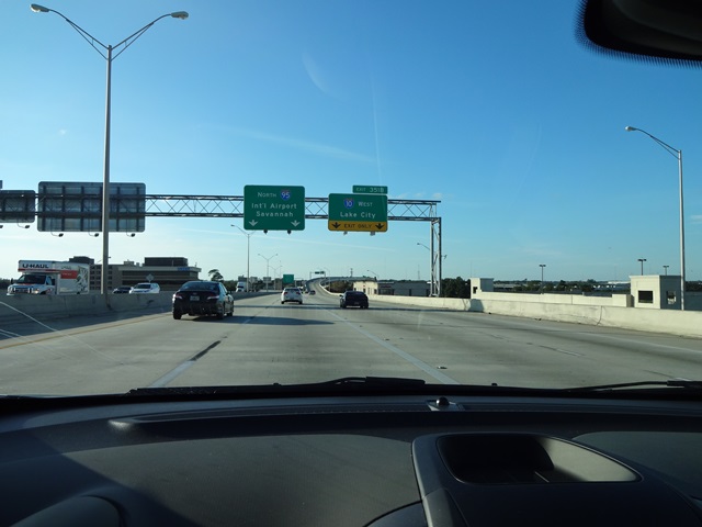
tier of the United States: California, Arizona, New Mexico, Texas, Louisiana, Mississippi, Alabama and Florida. Major cities on the route of
Interstate 10 include San Bernardino, Phoenix, Tucson, Las Cruces, El Paso, San Antonio, Houston, Lake Charles, Baton Rouge, New Orleans, Biloxi,
Mobile, Pensacola, Tallahassee and Lake City and terminating in Jacksonville. Of all the Interstate 10 segments, the longest segment is in Texas
at a distance of 860+ miles. The segment in Texas from El Paso to San Antonio is over 500+ miles long with practically small towns en route;
if you plan to make an Interstate 10 crossing try to overnight in either El Paso or San Antonio to get a good night's rest and leave early so that
you can get to the other side before dark. I say this because I remember the road trip we took to Camp Pendleton in 1978 and portions of Interstate
10 were not completed in Texas back then; detours meant mountains on two lane roads among other things. With the advent of discount air travel and Southwest Airlines, I prefer to take
Southwest any day. But if you have the time - and the perfect vehicle, preferably a rental vehicle so that you can go one way and fly (or take
Amtrak's Sunset Limited if you would like) - a drive on Interstate 10 is the longest yet best interstate drive you will enjoy. At the California end of Interstate 10, CalTrans (California's equivalent of the
Florida DOT) erected a sign proclaiming that Interstate 10 is the Christopher Columbus Transcontinental Highway, as you will see in this upcoming
photo set. As an idea, in the spirit of friendship between the Golden State of California and the Sunshine State of Florida (or in the spirit of
friendship between the miner's spade and the outline of the State of Florida, so to speak) I would suggest that the Florida DOT erect a mileage sign
on Interstate 10's western end stating the mileage to Jacksonville and that CalTrans erect a sign on Interstate 10's eastern end stating the mileage
to both Los Angeles and Santa Monica. We'll reminisce about my 2003 trip to Los Angeles and Burbank on the next page,
which is Tuesday, 4 September 2007. We'll also railfan the Los Angeles Metro and pay a visit to Los Angeles Union Station as well!